Hill Walking Third Edition

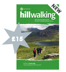
The third edition of Hill Walking is available to buy now, at the bargain price of just
£15* (including postage and packaging within the UK).
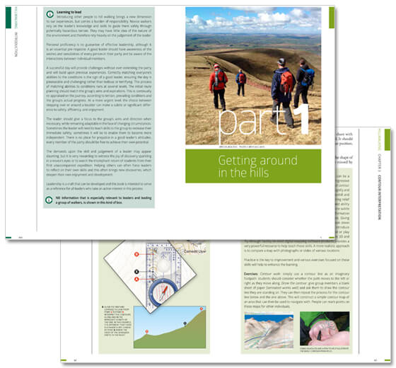
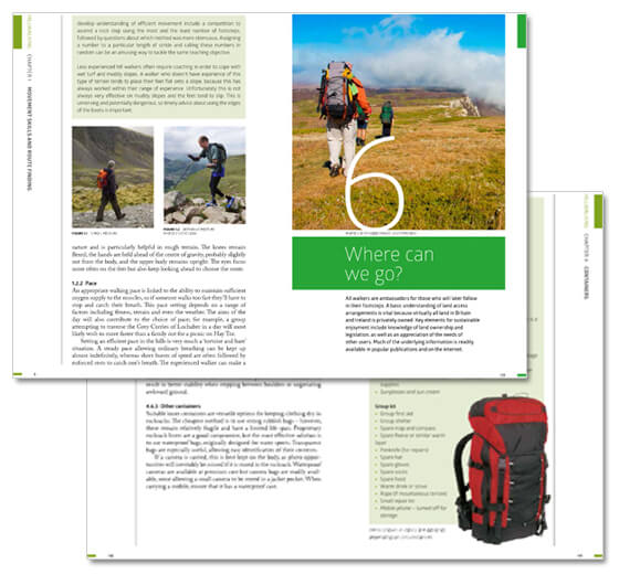
This increasingly popular book, which has already sold 50,000 copies, is an essential reference tool for all hill walkers and includes guidance on fundamental skills from map reading to emergency procedures. The third edition has a new format, new pictures and a number of updated sections including access information, navigation tools and techniques and more guidance on inclusive hill walking.
As an activity, hill walking is enjoyed by thousands of people every year and the UK and Ireland have some of the most accessible hills in the world. So whether you're planning to tackle the mountains of Scotland, the moorlands of the South West or the Welsh Coast Path, it's worth knowing some basic skills.
Chapters include information about movement skills and route finding, navigation, clothing and equipment, access in the uplands, conservation, the environment and the weather. There is also an entire section on party management for any aspiring leaders which includes valuable advice on hazards and risk management as well as how to deal with incidents.
Any profit made from the sale of Mountain Training publications is used to fund the quality assurance and development of our schemes.

What's new?
The third edition includes updated access information, advice for leaders on walking with people with disabilities and an expanded navigation section covering map work and the use of GPS devices.

Sneaky peak - extract from Chaper 2
2.6.1 Eyesight and vision considerations
Having eyesight or vision problems is not a barrier to navigation; however it may require the development of a slightly different strategy and some additional items of equipment. Digital mapping software can allow for maps to be printed at a variety of scales meaning a 1:25,000 map could be printed at a scale of 1:10,000, and may be laminated, making it much easier to see the detail. A large magnifying glass can be useful and there are many products available specifically made for map reading that are light and easy to use; some even have built in lights. Specs can present a problem when the weather is poor, often misting up or requiring constant wiping to remove water. A jacket with a shaped wired hood can help prevent the worst of the conditions effecting vision, as can a peaked cap. Various windscreen products that reduce fogging and increase water repellence can reduce the amount of wiping required....
Marking the map with a pen or pencil will help to avoid losing your place and make it easier to locate the last known point when refocusing on the map. A comparable method used commonly with a folded map is ‘thumbing the map’ - marking your location using a thumb. It is usual to move your thumb to a new position at a ‘check point’ such as a path junction or some other obvious feature where you might stop or slow down so as to check your location.
* Offer price valid until 9am on Monday 15th September. Usual price £16.99.